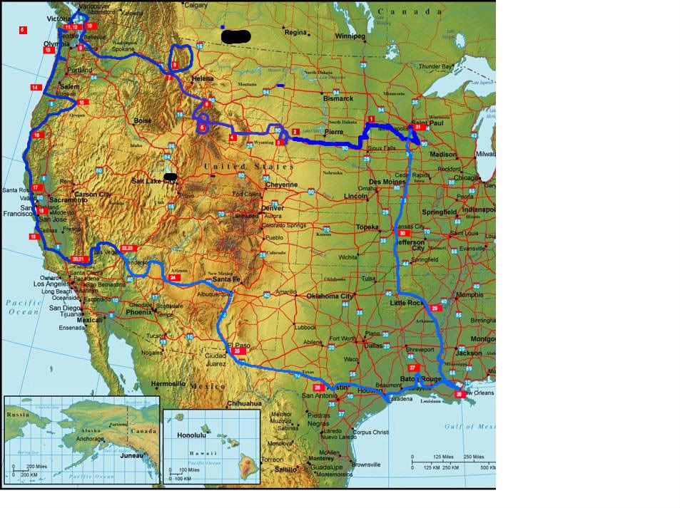
Sunday, October 12, 2008

California part 3, and Las Vegas

Greetings!

I arrived back in Minnesota on Friday the 10th, so all these posts are now finishing my recollections of the trip. I realize that I often switch between tenses erratically in many of these posts. All I can tell you is that I switch tenses whenever my recollection changes, and it's my blog, so you'll just have to deal with it! /shrug

Days 20 and 21, 9-29/30-08:

I was invited to stay with my Aunt and Uncle, Carolyn and Dave Gilliam. They live in Tehachapi, California, which is about 30 miles East of Bakersfield.

Leaving my hotel in Soledad, CA around 10am (lots of politics to read) I set out across central California for Bakersfield and Tehachapi. There appears to be alot of agriculture taking place in this part of CA, which I'm sure will come as a surprise to everyone. But seriously, the part that did surprise me was the lack of water in any location not being actively cultivated. I didn't realize it until I drove through it, but the California fruits, vegetables and grains industry is almost entirely dependent on irrigation. Check out this link that illustrates the point if the land is not irrigated it is brown and a desert, but upon irrigation it turns bright green on the satellite maps. I was under the impression that the area was always marginal for agriculture, but had no idea it was that marginal. No wonder California is so big on water projects and politics.

Anyways, I arrive at the Gilliam's around 5pm. I had never met the Gilliam's before, as they had always lived in California. They are my relatives on mom's side, and have roots in Flint with her. I don't know much about Mom's family, but Aunt Gilliam showed me a suitcase full of pictures and portraits, including many of mom before she was mom. Surreal and enlightening are the adjectives that come to mind.

They live on a 4 acre ranch in the Bear Valley community of Tehachapi. It is a planned community with many different housing plans to suit the needs of horses, golfers, snow birds and everyone in between. They ride their two horses on the trails throughout the area, accompanied by their hyperactive and lovable dog Cleo. A tribe of cats rounds out the family.

I spent a day and a half there, biding my time between sleeping, a trip into town with Aunt Carolyn for supplies, and generally not driving. Thinking it a bit impolite to take pictures of someone's house, I have few images from this period, but here are a few of us as I left on the morning of the 30th.
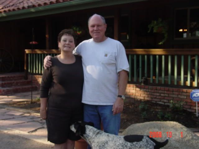
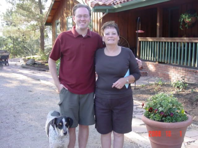


Did I mention it's really bright in the desert? I'd like to thank the Gilliam's for their immense hospitality, steak, pork chops, apples, oil changes, and graduation gifts. You helped fulfill one of my trip's goals and speeded me along my route with love and consideration. Thanks!

Day 22, 10-1-08: Death Valley and Las Vegas

I departed around 8:30 from the Gilliam's ranch, making my way northeast along highway 14 -> 395 -> Death Valley NP. I planned a long driving day for getting through Death Valley on my way to Vegas, that in retrospect my squeaking brakes, squeaking clutch pedal, brake and clutch smells were agonizing over.
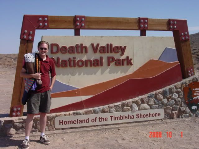

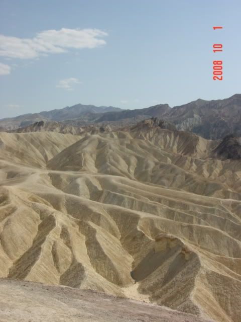
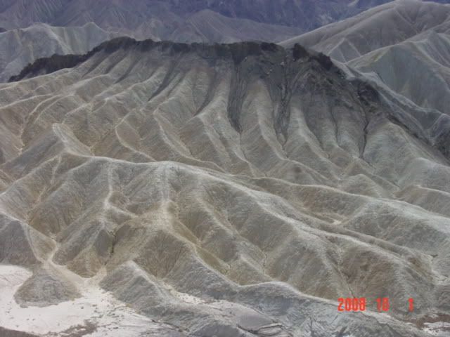
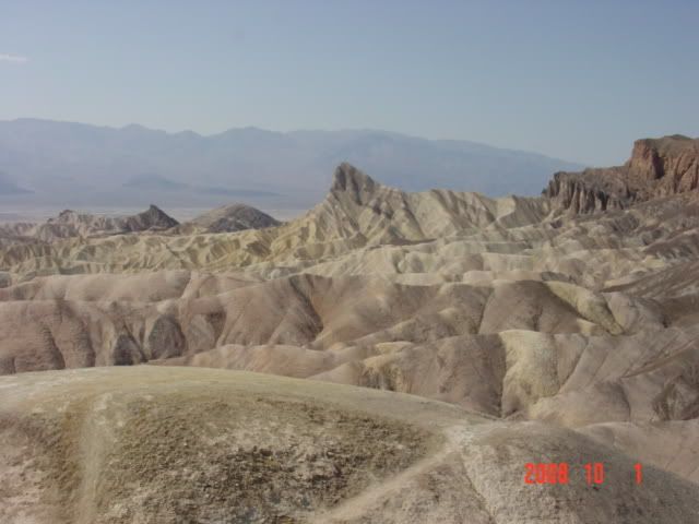
Death Valley is impressive, certainly, in terms of the stark differences between the flora and fauna of the Valley from the surrounding plateaus and mountains. What I wasn't prepared for were the amazing elevation changes that allowed those differences to occur. I know, right: "No sh-- Frank, Death Valley is below sea level out in the freaking Rockies!" but it's more complicated than that.

Death Valley was formed by the subduction of tectonic plates in coordination with the same forces that cause the San Andreas fault. I wondered whether these forces also formed the Grand Tetons like I alluded to in the Tetons post, along with the hot springs, etc in Yellowstone. Anyways, the whole valley didn't just erode away to its present below-sea-level form (even if that were possible) but rather the valley sank as plates were upended, and Death Valley fell between the plates as they buckled. If the area had more water the whole floor would fill to a many hundred of food deep lake. Yet the lake has no outlet, so it would be as salty and hostile to life as it is in its present drypan form.
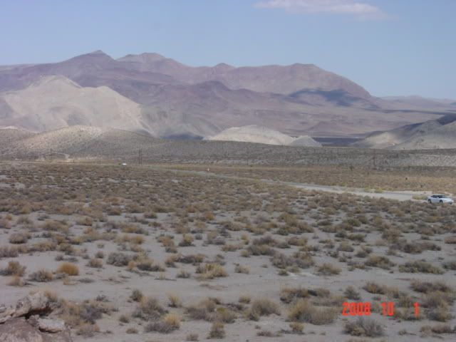
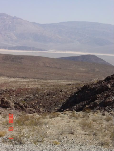

What all this geology and whining about brakes and clutches means in practice is that:
1. Death Valley travel requires about 20,000 feet in total elevation change; there are 2 ridges that you need to cross into and out of the park.
2. The main descent from the east is 6000 feet in about 10 miles. 1/10 of a mile down per mile traveled. That's steep.
3. A--holes and f--ktards love tailgaiting into, around, about and everywhere imaginable involving Death Valley. And gods forbid the 32 foot long motorhomes should use the turnoffs. ever.

/fume

Anyways, after riding my brakes and clutch in unison with white-knuckled grip on my slippery driving wheel (to reduce overheating the AC is considered taboo for this drive. Personally I think the park rangers are just sadists for imposing this rule). I come to a wide spot in the road with the peculiar sign below.
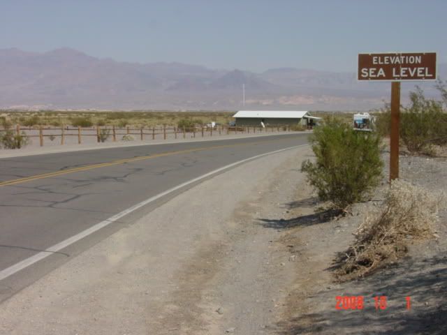


The crazy thing is that it doesn't feel like you're at sea level. You're out in the middle of the desert Rockies, which your mind tells you are 3000 feet and above, right?

No? got me But I do trust my eyes for other things, and more than the sign, what really got me was this artifact and what happened to it during the drive:
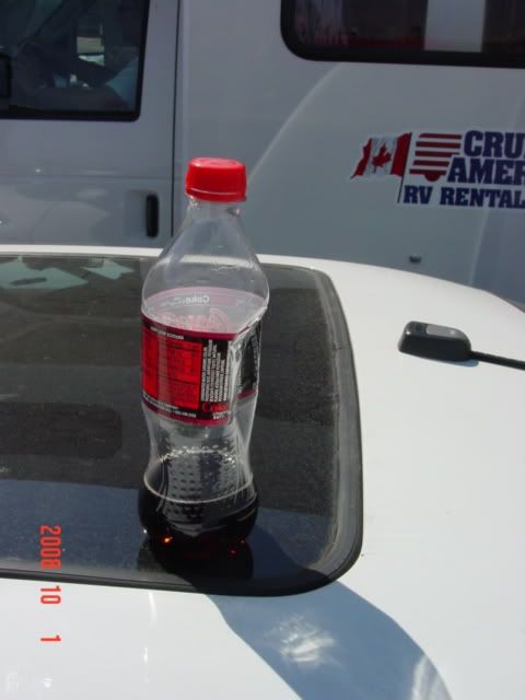

What, a coke bottle? Yes, a but more importantly, what happened to it. Being from a low-lying part of the country for my life that only experiences with real elevation I've had prior to this trip was Philmont, a Boy Scout Ranch in New Mexico. But I didn't pay attention to this kind of stuff, so for all intents and purposes this was my first 'eyes open' exam of altitude.

I sealed this pop bottle at the top of the pass, 6000 feet.

And it imploded. All on its own. My nalgene bottles did the same thing, even as they are much thicker plastic. This was, well, astonishing to me. Perhaps that shows my naivete, but hey, it was cool to me. And it was as true a demonstration that I could think of of what Death Valley is. A Big Giant Hot Hole.

A pretty hole, to be sure, but hot. HOT. I could taste the dryness, the saltiness, the oppressive 'blech' of it all. And I realized how they could possibly make a contiguous 4000 or more square mile park without disturbing the people who live there:

No one in their right mind would want to live there.


I drove up the other side of the park and into Nevada. I wanted to drive past Groom Lake, Trinity and the other Department of Defense sites on my way to Vegas, so I took highway 95 from Death Valley. Alas, I was not abducted by aliens on the trip.

Or so I think?

Las Vegas next!

Friday, October 10, 2008

California, part 2


Day 19, 9-28-08

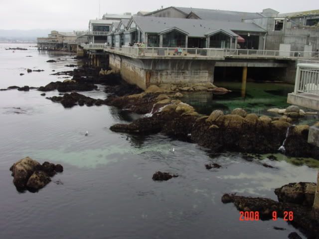
After San Francisco, the next cool thing I wanted to see in California was the Monterrey Bay Aquarium. The Monterrey Bay Aquarium (MBA) was founded primarily by David Packard, of Hewlett-Packard fame and his wife, whose endowment in the laid 1970s laid the foundation for both the aquarium itself and the oceanic research institute that followed it.

Monterrey Bay is also home to the author John Steinbeck, one of my favorites. One of his works entitled "Log from the Sea of Cortez" follows a survey expedition to catalog the marine life along the Pacific Coast along Southern California and Northern Mexico. The work is a fictionalized account by Steinbeck and his friend E.F. Rickets, a naturalist and marine biologist who was one of the first people to catalog the marine life along this coastline. It is my favorite Steinbeck work and seeing the location and environment that inspired it was one of the main motivations for going on this trip.

Monterrey Bay itself is much as I imagined it would be, but actually turned out to be better. Monterrey Bay is marine sanctuary, set asid and protected from fishing to act as a marine nursery for commercially valuable fish species. Fortunate from the MBA and my ideals about Steinbeck's writings, the marine sanctuary preserves intact the pre-exploitation state of the Pacific Coast of North America. It has some of the cleanest waters and most biologically diverse and vibrant marine communities south of Alaska. It also serves as a backdrop for the Pebble Beach PGA championship venue, which I saw from afar.

Anyways, I arrived in Monterey transfixed by the stark contrasts presented between the ecology and climate of Monterrey and that of the San Jose environs I stayed at the previous night. San Jose was warm, sunny and dry, while during the short trip to Monterey it became cloudy, windy, and humid, all within 30 miles and little elevation or rain shadowing that I could detect. Strange place, especially when you consider that I left Monetery by the same route I entered and transitioned back into the Son Jose weather, just as quickly as I had left it.


The Aquarium is a converted sardine cannery, a vestige of a time when sardines fed troops in both world wars along with Depression era Americans. Then the fishery collapsed in the 1950s and the area was largely destitute.

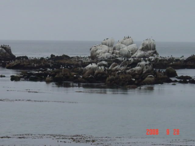
I don't have many images of the aquarium grounds or specimens, because I was altogether too engrossed in the sights and sounds, mobbed by people (Sunday + tourist destination = crowded) or the specimens did not want to cooperate with my photographic efforts. But I got what I could; suffice to say there is alot to see, from squid to fish to otters to salmon.


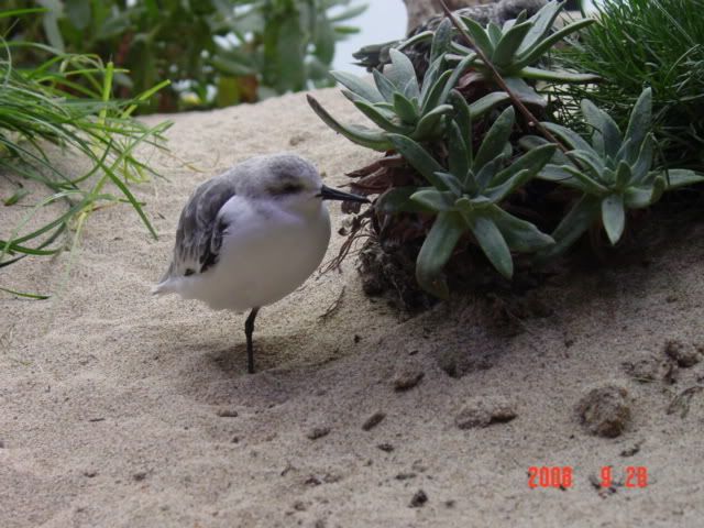
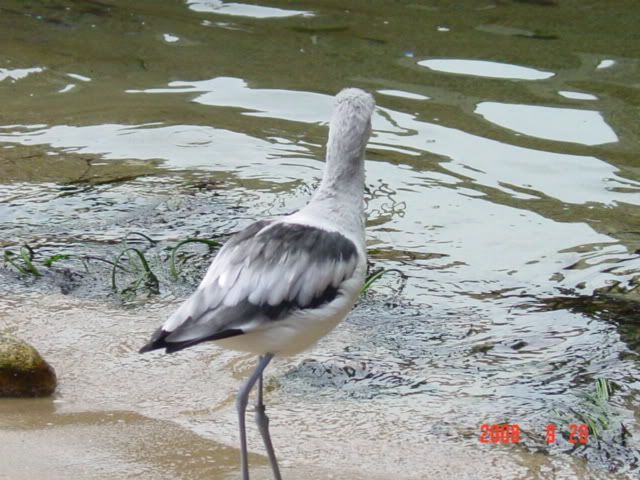
The indoor aviary was interesting, and housed many native and migratory bird species, all of the which housed here had been rescued or injured.


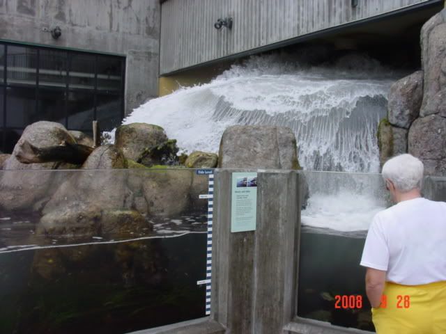
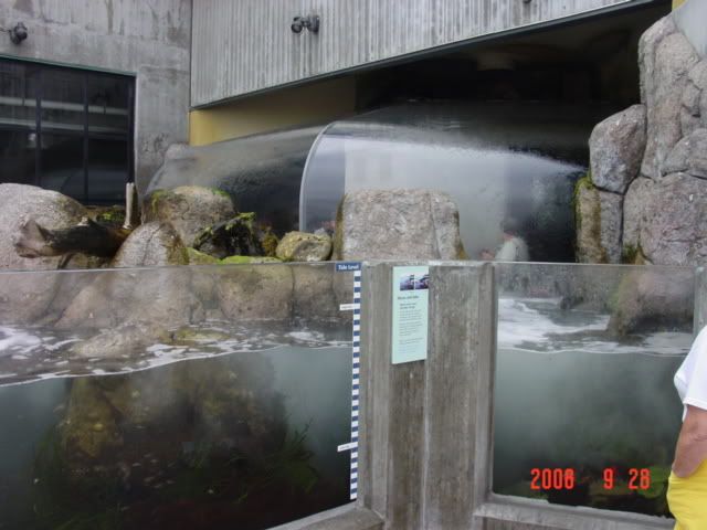
This exhibit was fun, and consisted of a modelled tidal pool that washed over an indoor observation area that could also be viewed from the outside where I am standing. Notice the people under the plexiglass in the second pic. It was also fun when the groups of 4-years olds were under the canopy and let go their squeals of glee when the water crashed overhead. I moved on quickly after that sensory onslaught.


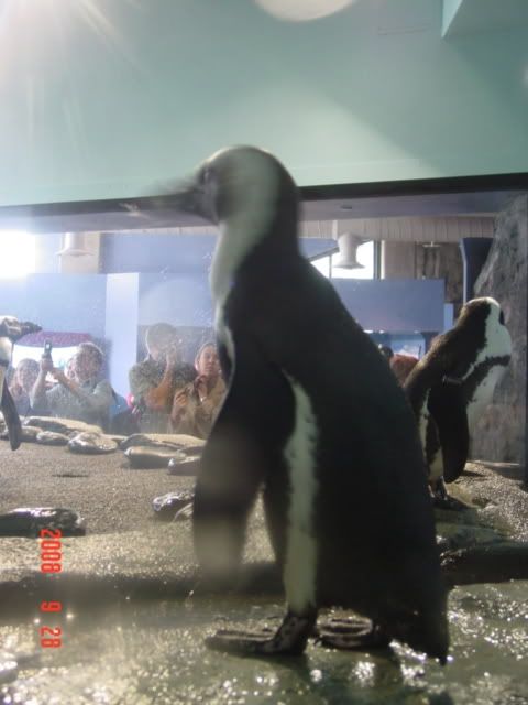
The penguin area was typically comical, and these characters would not stand still for anything, so my images of them are often blurry.

I ate lunch at the superb cafeteria on site, and decided that this was a place worthy of splurging on good food, as it after all goes to a good cause. $25 worth of a Californian version of the Philly Cheese Steak (no where near greasy enough), carbonated fruit drinks and french bread and clam chowder later.

I paid extra for a behind-the-scenes tour of the facility. Led by a fairly knowledgeable guide, we visited the holding tanks, areas behind the exhibits where the filtration and maintenance took place, the food prep areas, and some of the husbandry, isolation and care units to keep the front residents happy as well as tend to the center's other mission of research and exploration. All in all this tour was very interesting, and while it reminded me of tours I'd done at the School for Environmental Studies, the information was nevertheless insightful and interesting. I'd definitely recommend taking the tour to anyone else who visited the MBA.

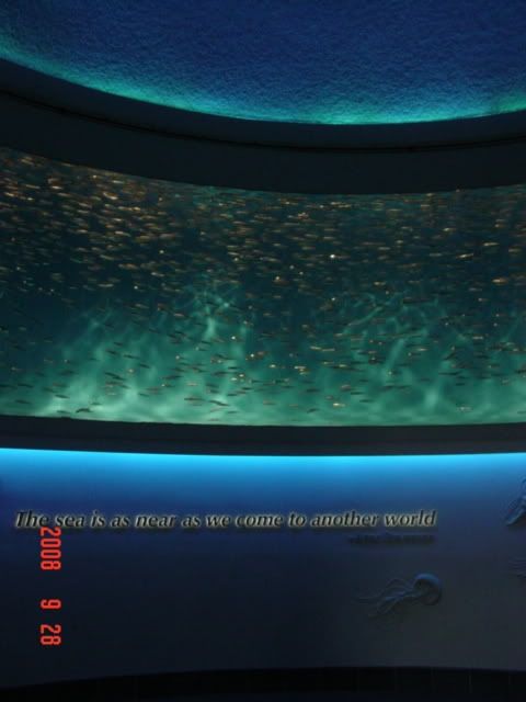
One of the most interesting but hardest to photograph attractions is the giant 1-million odd gallon seawater tank that houses many of the facilities large animals. Since the MBA's mission is education more than entertainment, there are no trained animals there beyond training the mammals (mostly) to accept physicals and feeding patterns. The Big Tank houses many species of fish and a few cetaceans, including everything from anchovies to white tipped reef sharks, all swimming continuously in a never ending dance of swimming in circles.


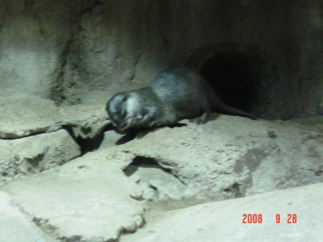
One of the newer exhibits displays a group of 6 sea otters who are able to gambol and cavort amongst a series of interconnected rooms and environments, all interspersed with human-filled hallways and flashbulbs. These characters are notoriously hard to photograph, as their movements are faster and more erratic than the penguins even. But below is my solitary good shot.


Evidently the 6 otters have distinct personalities, fur coats and behaviours that the keepers can pick up on after and differentiate these whirling balls of energy (they eat a quarter of their weight in fish a day! and it's salmon to be ostentatious!) but they all looked like furballs to me.

Another exhibit will open early next year about sea horses and related creatures. Until then though, the MBA is a fascinating place that I learned alot from, and was definitely a highlight of the trip so far.

I rode around Monterey for awhile afterwards, looking as much for a drug store to buy some insoles to ease my aching arches as anything. All in all there's something mysterious and surreal about the Monterey Bay that I can't really put my finger on. Definitely a place I'd like to explore more.

I left the area and headed south along highway 101 for an hour or so and found a hotel. Tomorrow I will visit my Aunt and Uncle in Tehachapi, CA.

Til then!

Tuesday, October 7, 2008

California, part 1

California is one of the states I am most interested and most hesitant about seeing on my trip. I perceive the state as being so full of contradictions, but when I entered on Highway 101 and saw that the northern terminus is mile 836 or something, it occurred to me that in a state that is big enough to have 836 miles of continuous interstate in it, there's bound to be enough room for all walks of life and viewpoints.

Day 17, 9-26-008: Redwoods National Park and the Northern California Coastline

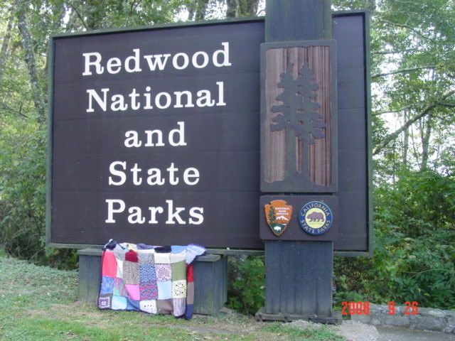
After crashing in a seedy hotel in Crescent City, CA for the night, I awoke around 8 and decided to photograph some big giant trees. Redwoods NP is in a few pieces, lining the far northern coast of California. It encompasses a large number of state and regional parks as well, but altogether its pretty much the same thing.

My handy National Geographic guide listed a few important turnoffs to visit and see big old trees, so I took off south. I decided to take scenic routes that are poorly marked and even more poorly paved. That my GPS lists the roads is a great help, as without it I wouldn't take such risky, unknown choices.


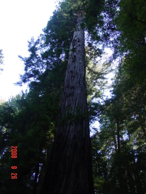
One thing that struck me immediately is that highway 101 is laid around the forest; the forest did not come to the road. Outside of a few trees in Oregon and some in north Michigan I've never seen any living object make a road move from it's intended path. The redwoods are large enough that their base is as wide as a 2-lane highway. The road is literally laid out to go around the trees. Hopefully that's enough emphasis on the scale of these monsters, because my pictures don't do them justice.


The next thing that struck me was the stillness, the overwhelming sense of insignificance that overwhelms you as you enter a redwood grove. Outside of a few far way bird calls there is no sound. None. The crunching of soft needles below my feet is deafening, even as my passage over them would be inconsequential under normal circumstances amid the hubbub of life. What's more there was a strong wind that day- blowing 20mph in from the Pacific. If I gave myself a neck ache examining the canopy I could see the fog and branches moving, but none of the normal sound associated with this phenomena reached my ear; it's so far up the sound doesn't carry. Furthermore that branches were probably swaying 20 feet or more, but at that scale appeared to not be moving much at all. Spooky.


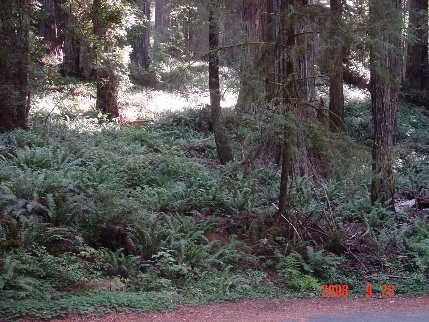
The ferns in the lower image are now my desktop background. This must be where people go when they are looking for inspiration about primeval conditions.


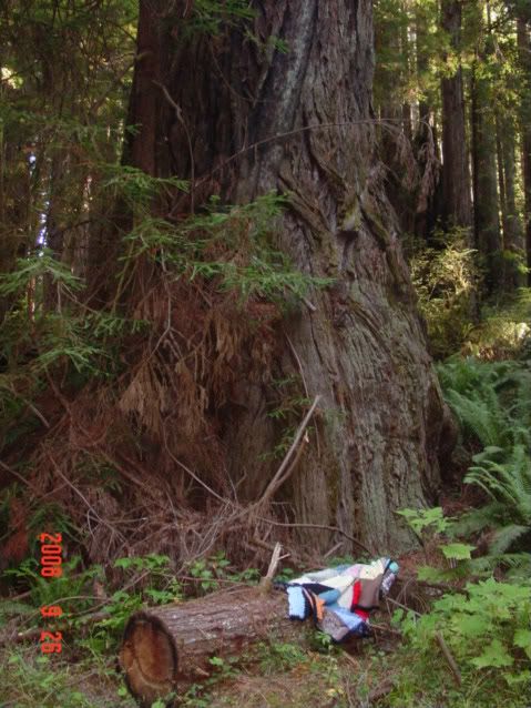
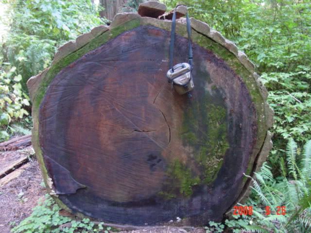
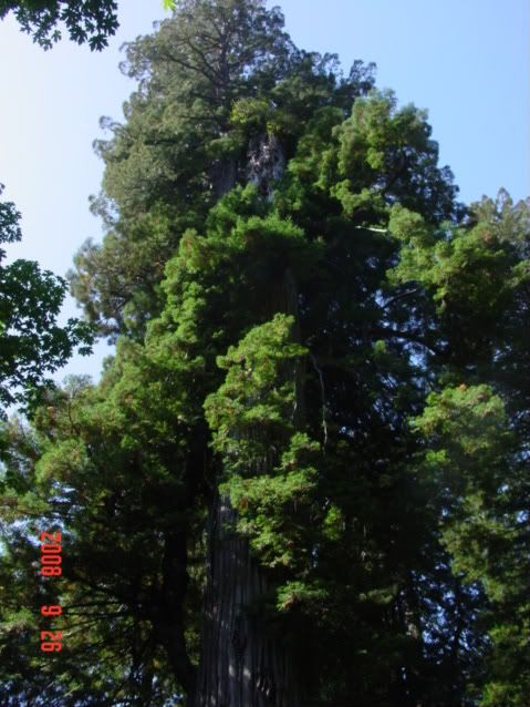
I found a log sawn in half, and I had no other method of gathering perspective on it, so my camera bag did the job. It's about 6x8 inches square. That's one old tree. The lower pic of the canopy and such is of a named tree-that I neglected to write down. d'oh. Anyways, if you look closely where the branches seem to separate into a foreground and background around the trunk you can see where the trunk is actually fallen off; the background growth is actually secondary, having occurred only after the main trunk broke off. What could make a trunk like that break? Don't wanna know. The record this specimen set is by the secondary growth trunk, I suspect the primary growth was even taller- and it still set a record.

There are more Very Big Trees in the Photobucket entries.

Otherwise I drove south for the rest of the day after leaving the park proper. I was interested that highway 101 still passes through numerous redwood groves in unprotected lands as I traveled farther south. In fact I saw them all the say south for the next 200 miles. Evidently redwoods used to range across the entire continental US and Europe during previous inter-glacial periods, but by the epoch humans had stepped out of their caves in, world climactic conditions only favor their growth (ie lots of water. lots) in this narrow stretch of California coastline. Sequioa and some other type of tree in China are the only remaining members of this branch of the plant kingdom. Some more info.

I ate lunch in a Subway in some hippie infested town along highway 101 called Ukiah. The subway itself was a gas station too, and they didn't seem to have a clue what they were doing in terms of selling subs. The sub itself was pretty bad too, the bread was stale. Otherwise there were anti-war protesters clogging the main thoroughfare with hand drawn cardboard signs and dreadlocks. Some people have no idea how to protest effectively. But, there's culture for you.

I had wisely made a reservation at a hotel in Novato CA, north of the Golden Gate bridge for the night. I wanted to get there to watch the first Obama-McCain debate of the election, which started at 6pm pdt, so I had to drive past all the wineries. Altogether not a bad idea though, as all the tours cost money and the wine is no better than you can find in a store. But, still, oh well.

Day 18, 9-27-08: San Francisco and ouch my arches!

Waking at 7, I read some more post-debate bloggering, before showering and heading for San Francisco.

As I approached the Golden Gate Bridge I thought first "wow, it really is big" and second "wish I could see more of it from the stupid fog". Knowing it has a toll, I kept preparing to slow down and pay the piper, but was pleasantly surprised when not only did there not appear to be a piper on the bridge but there were no signs indicating you needed to pay to cross the expanse. Could it be that something in this trip would cost less than I thought??!

Not so much. $6 toll paid on the south pier. Makes me wonder what they'd do if I said I had no money to pay the toll-would they send me back to the north side?

I had found a parking deck online the night before, and my GPS led me right to it. Sort of. GPS is nice for finding a street address, but finding the entrance to a 2-block parking deck? Nah. I spend 20 minutes narrowly avoiding going the wrong way on one-way streets before I found and maneuvered my way into the entrance chute. In retrospect parking in one of the tourist lots near the fish market would have made more sense and been cheaper than parking in midtown SF (5th and Mission). Alas, those decks are not online, and I didn't want to drive about the notoriously finicky SF byways aimlessly else I run over a bag lady. Live and learn I guess.

I got out and walked. And walked. Eventually arriving at the famous 'Welcome to San Francisco' sign above the ferry docks. They had an open air market going on this Sunday, and some of the people in attendance needed to stay in the open air else they fumigate the room. Otherwise lots of interesting Americana and hippiness.

I then walked north along the piers, towards the fish market and Alcatraz shuttles. I discovered that even though Alcatraz is some sort of a national landmark, the tours are run by private groups. Something about their marketing ploy turned me off, so I kept walking. Alcatraz is on an island right? So it's not like it can escape for next time I'm there.

I kept walking, west this time. My plan was to wander semi-aimlessly in the direction of the Golden Gate then turn south and meander towards Haight-Ashbury to see hippie central.


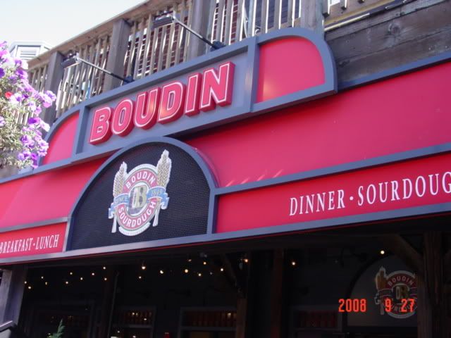
I stopped for lunch at a tourist-trap version of the famous Boudin's Sourdough bakery, on one of the tourist piers (31?). San Francisco sourdough is famous because you can only make it in SF; the particular sub-culture of S. cerevisae (S. Sanfranciscus iirc).


Linkies, ..., ...., Microbiology of it

In any case, the bread was amazing, as was the clam chowder and club sandwich that came with it. Truly a good use of the funds.

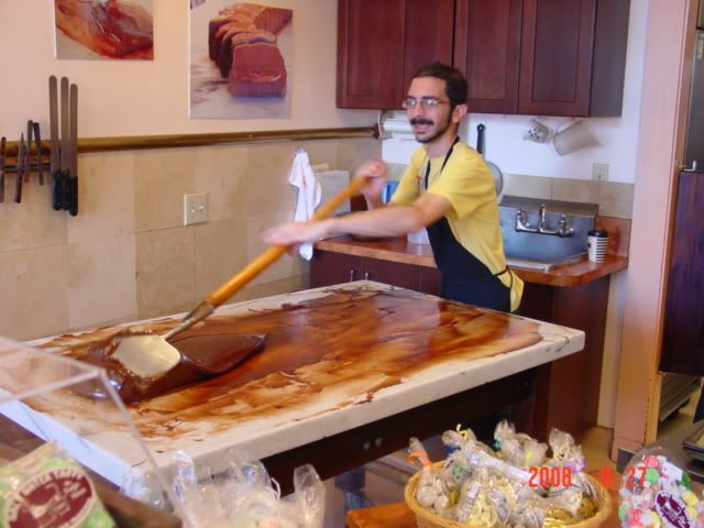
I then walked down the pier amongst the rest of the tourist rabble, and found myself in a chocolate shoppe, perhaps the same one Mom had alluded to before I left.


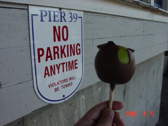
This guy was tempering the chocolate. Yum. I controlled the sweet tooth though- or rather the exorbitant prices did- and I settled for a semi-nutritious meal of apple and chocolate.


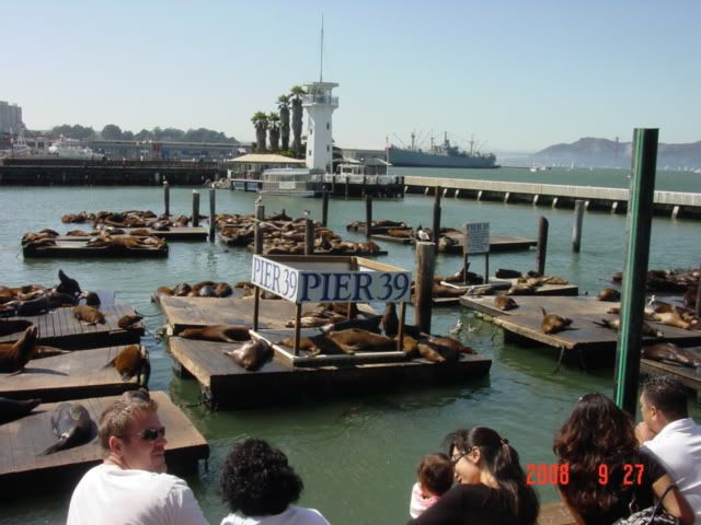
I then watched the sealions carry on. The story is that after the 1989 earthquake the sealions began appearing on this pier for largely unknown reasons. Lack of food? Desire to belch at humans? Vanity? Anyways, it's become a tourist attraction, and after the Sea Lion Caves this is a better look at this family. And they still smell bad.


Anyways, I kept walking, eventually ending up near the Maritime historical park, which was free that day for some reason. I walked aboard the ships, and did that.

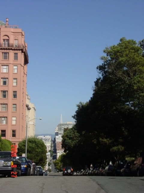
I walked to Fort Mason where they were having a Blues festival. Much nekkidness and suspicious smoke was afoot. Anyhow, I turned south and began scaling one of the famous hills towards Lafayette Park. The view was okay, but cars kept trying to kill me as I took pictures.


Otherwise, mischief was afoot. Or rather, underfoot. My feet started aching about here. This in and of itself is not uncommon after walking city streets for 6 miles, but man would it begin to haunt me.


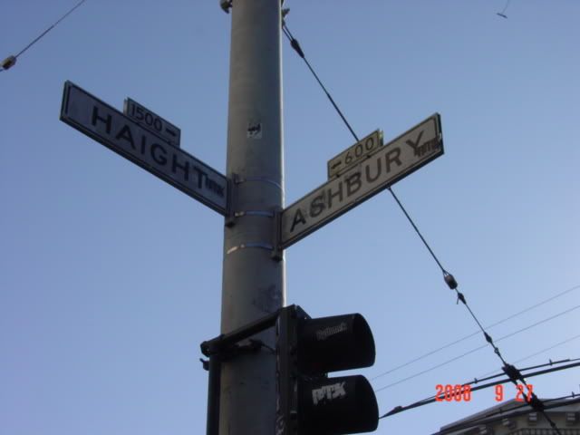
I made it to Hippie Central. Ironically, or not, there was a Ben and Jerry's on one of the corners. Much body hair and suspicious smoke hung around here too. I supported the area's habit by purchasing a Chocolate Fudge Brownie cone that promptly melted all over my hands. And I had no napkins handy. Now who's the hippie! gah.

Now to get back to the car. Not wanting to rely on anyone or anything I decided to walk it. Bad move. While SF is a nice city it is on the large side, and the 5 mile return trip from Haight/Ashbury to 5th and Mission was a painful one. My arches, see. Having graduated from simple aching to genuine pain with each step, I was soon limping more than some of the bums. That's hard to do, believe me.

Alas, I was unable to figure out the bus schedule, and I suspect that even if I had it wouldn't've mattered that late on a Sunday, as I saw no busses go by. SF is interesting in that the busses are often 'Zero-emission', being powered from suspended overhead lines. Setting aside the absurdity of the zero-emission claim no busses were traversing the power-line equipped streets. Ack!

Well, clearly I made it back, but was walking gingerly for the next few days. I stayed in a hotel outside Oakland for the night, ready for the trip to Monterrey the next day. I stayed so far from Monterrey as the lowest rate I could find near Monterrey was $100 a night.

Anyways, aching arches in tow, I settled down in a fairly nice place and called it a night.

Til later!


/off to Bourbon Street.

Monday, October 6, 2008

Apologies on the lack of updates

Sorry all, I've been driving alot, and by the time I get to where I am going I'm exhausted. And oftentimes internet access is limited if I do get somewhere and want to post.

I'm currently in central Louisiana, and am booking a reservation for tomorrow in downtown New Orleans. I promise to add at least 2 more days of snarky awesomeness before I go and chase the delights of Bourbon Street.

Til then!

Frank

Thursday, October 2, 2008

Orego'wned

Big Update #2

Day 15, 9-24-08: To the Martins!

After leaving Florence, Oregon in the early morning I stopped at the Sea Lions Cave along the coast near Florence, and paid my $10 to go look at big giant blubbery sea mammals. Or so I thought.

Alas, at this time of year the year-round resident herd is mostly offshore, fishing, frolicking, making noise and generally doing what sea lions do. The only animals left are the homebodies, and today they occupied a stipend of rock that was hard to take a picture of.


The cave itself wasn't that exciting. First, I thought it would be bigger. Second, there were no sealions in it. Third, it stunk of fish, sealion and seawater impregnated rocks. blech. Overall, a bit disappointing, but I have it on good account that the cave is far more full, interesting and revolting when the population returns en masse to overwinter.

Next I traveled inland back over the Cascades on my way to Renee Martins house in Bend, Oregon for the night. I took a route called the Old McKenzie Highway that crosses over a particularly high pass, that runs across lava fields and other phenomena left over from recent eruptions in the Cascades. This road switchbacks up about 3000 feet, and when I mean switchback, I mean 140 degree turns, every 500 feet of road. It's a steep climb, and I really didn't enjoy putting that strain on my car.

But the scenery made it worthwhile. The second pic is from a lava flow called Belknap crater. As soon as I saw it a voice in my head said "climbing time" as I jumped out and started scrambling across the sharp crags and air-filled pumice ridges.


Next I came upon the highest point along the pass and an observatory built but the CCC in the 1930s. It was especialyl interesting since there were holes cut into the sides of the rock structure that looked directly at all the peaks visible from the site-some of them 50 miles away.


So, enough climbing. I crested the range finally and drove on to Mrs. Martin's house in Bend, Oregon. Why's it called Bend? Presumably from the big bend in the Deschutes River that runs through the town. Else it was a rickets colony. Anyways

I arrived at Mrs. Martin's house to a warm greeting, a beer, and conversation. After awhile I did some laundry, dried out my sodden tent and we had a delicious dinner of that included pork chops! We also took pictures of the Franket for posterity.


Anways, awoke the next morning to some Honey Nut Cheerios and headed off south. I'd like to thank Mrs. Martin for the hospitality, food and laundry; it was all awesome and I really appreciate it!

Day 16, 9-25-08: Big Rocks, Big Craters, oh my!

I departed Bend with a full stomach and headed south, to another pair of geological phenomena. First is called the Big Obsidian Flow, part of the Newberry volcanic monument and park. The big obsidian flow is, indeed, a big chunk of obsidian and pumice. From what I gather this phenomena occured when a magma pocket a few miles below the crust found a narrow avenue to escape the surface, but not large enough to pull a Crater Lake. The gases and magma spewed out not unlike the whistle on a tea kettle, and the peculiar actions present in this occurance created a roiling, churning mess that caused portions of the magma to cool exceedingly quickly, forming obsidian, interspersed with large chunks of gas-filled pumice.


Anyways, there's lots of obsidian laying about along with historical markers dealing with it's value to Native American cultures. I acquired a piece of obsidian from a rock shop along the way, as I couldn't pick up any chunks of obsidian due the national parks-type protection the site has. But its still a pretty cool artifact, worthy of shot-glass case display. It's hard to get a good shot of the obsidian, so you'll have to go there for yourself to experience this natural oddity.

Next I drove farther south to Crater Lake National Park. Crater Lake formed after a volcano just couldn't take it anymore and blew its top off. It left behind a large crater that filled with water to depth of over 1,900 feet, along with a wife and 3 kids. I toured around the crater for a few hours, eventually finding another spot to climb. Along the western rim of the crater is a ranger post/overlook on top of The Watchman that you must climb 700 or so feet to enjoy. So I did. In about 45 minutes of a few dozen swithcbacks. At least the ground is nice soft crushed pumice though.


You can see for many miles from that vantage point, including forest fires off to the west. The lake itself is sapphire blue, with some discolored and I suspect archeabacterially filled waters around Wizard Island. Even the wildlife is enthralled. Then of course there's my one-eyed car far below.


Last is a pic from my car of the peak where the chipmunk lives, along with a glacial remnant hanging onto the side of Hillman Peak.

Next I drove along even more long, twisty, turny roads filled with impatiant a--holes to Crescent City California. Home of the Biggest Trees Evar.

More soon!